Male'
About Male'
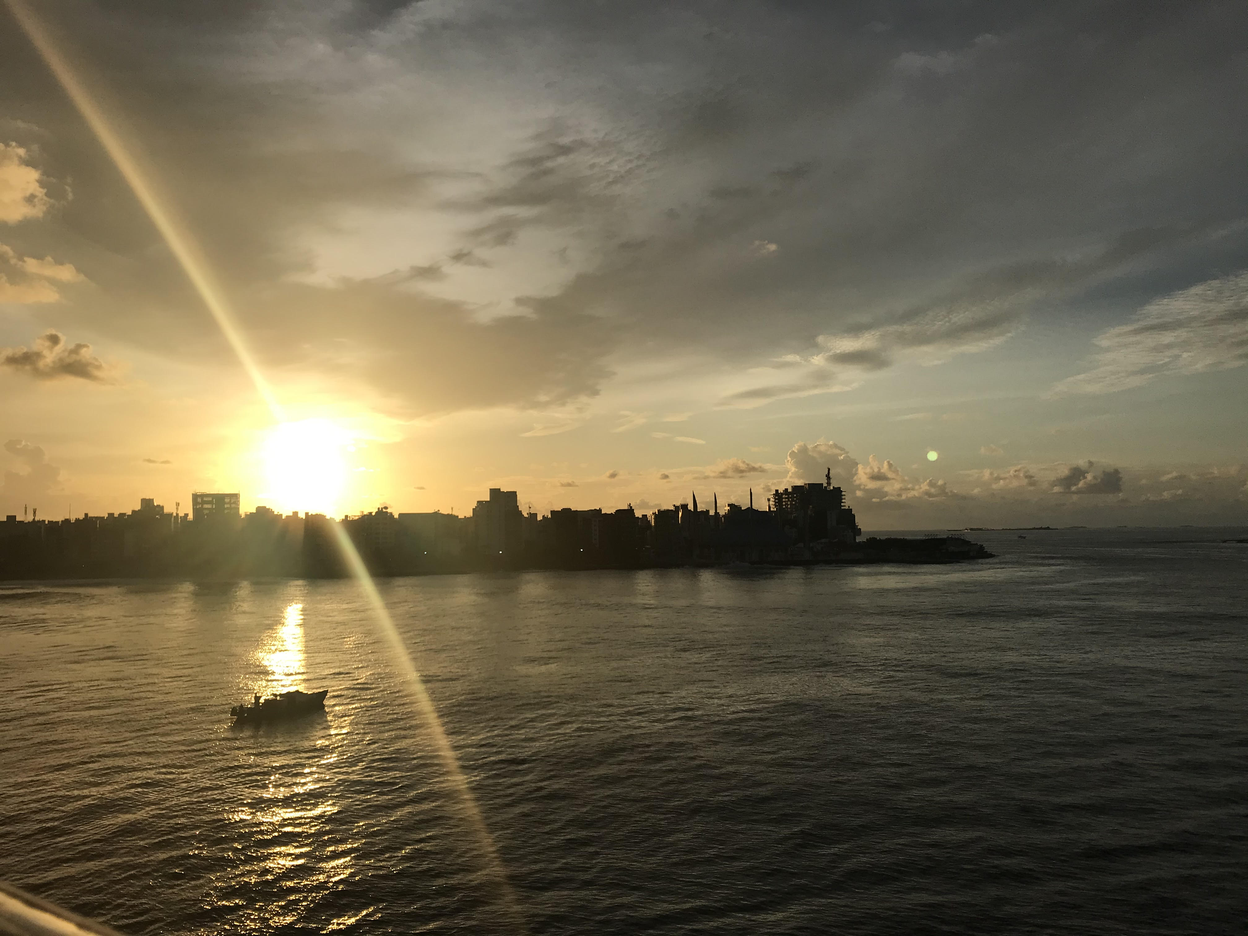
Despite its small footprint, the city has a tightly packed urban environment of paved roads and high-rise buildings. A seawall surrounds the island to protect it from ocean swells. It is connected by bridge to Hulhulé, the airport island, and to Hulhumalé, a major reclaimed island and satellite city.
Malé’s waterfront—especially the fish market and harbor—highlights its history of trade and fishing. While many Maldivians leave their home islands for services and opportunities found here, Malé remains a complex mix of tradition, pressure from urban growth, and its central role in shaping the nation.
Island Information
Administrative
- Island Name
- Male'
- Island Code
- MLE
- Atoll
- Male' City
- Island Type
- Residential Island
- Regulating Authority
- Council
- Primary Agency
- Council
Environmental Sites
Documented ecosystems and environmental sites on Male'.
Lions Head (Thilafalhu)
DocumentedMarine Protected Area (MPA)
Lions Head is a well-known marine protected area west of Male’, marked by a steep reef slope and large coral outcrop resembling a lion’s head. Located near Thilafushi, the site spans nearly 150 hectares and is frequented by reef sharks, Napoleon wrasses, and pelagic fish. Soft corals dominate the overhangs, while deeper waters host sea fans and sponges. It is considered a drift diving site due to prevailing currents and is used for both tourism and recreational diving training.
Embudhoo Kanduolhi
Potentially threatenedMarine Protected Area (MPA)
Embudhoo Kanduolhi is one of the largest protected channels in South Malé Atoll, covering over 630 hectares. It features a wide passage between reef systems with strong tidal currents and excellent coral development. The site is a key migratory route for pelagic species and supports reef sharks, eagle rays, and large schools of fusiliers. Coral growth is especially dense on channel edges and drop-offs. The site is used in local marine research and reef health monitoring.
Quick Stats
- Sites
- 2
- Zones
- 1
- Plots
- 1