Mathi Kilhi
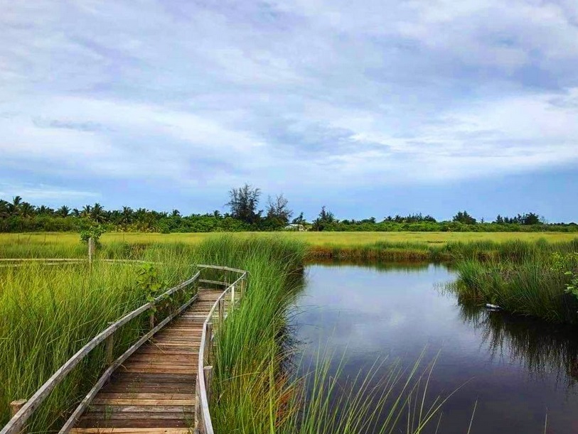
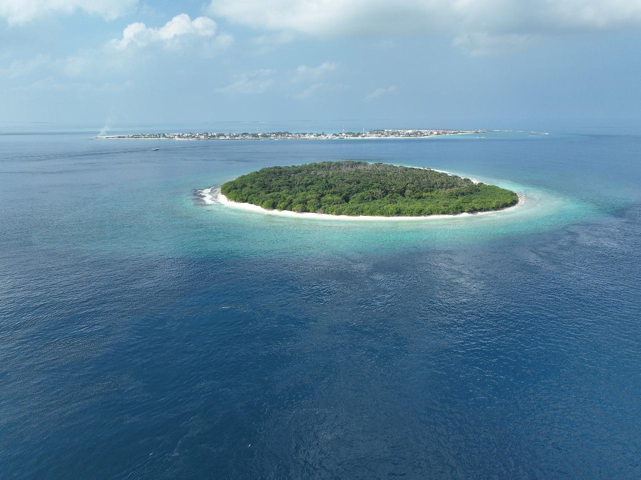
Addu Atoll, Meedhoo
Mathi Kilhi covers about 54 hectares along the border of Hulhudhoo and Meedhoo in Addu City. It is a...
Do you have a story to tell? A snap to share? A concern to raise? Join our community in preserving the natural heritage of the Maldives.
21 documented
Explore the administrative regions of the Maldives with detailed geographic information.
278 catalogued
Discover individual islands with population data, categories, and geographic details.
44 documented
Monitor ecosystem health and threats across marine and terrestrial sites.
Addu Atoll, Meedhoo
Mathi Kilhi covers about 54 hectares along the border of Hulhudhoo and Meedhoo in Addu City. It is a...
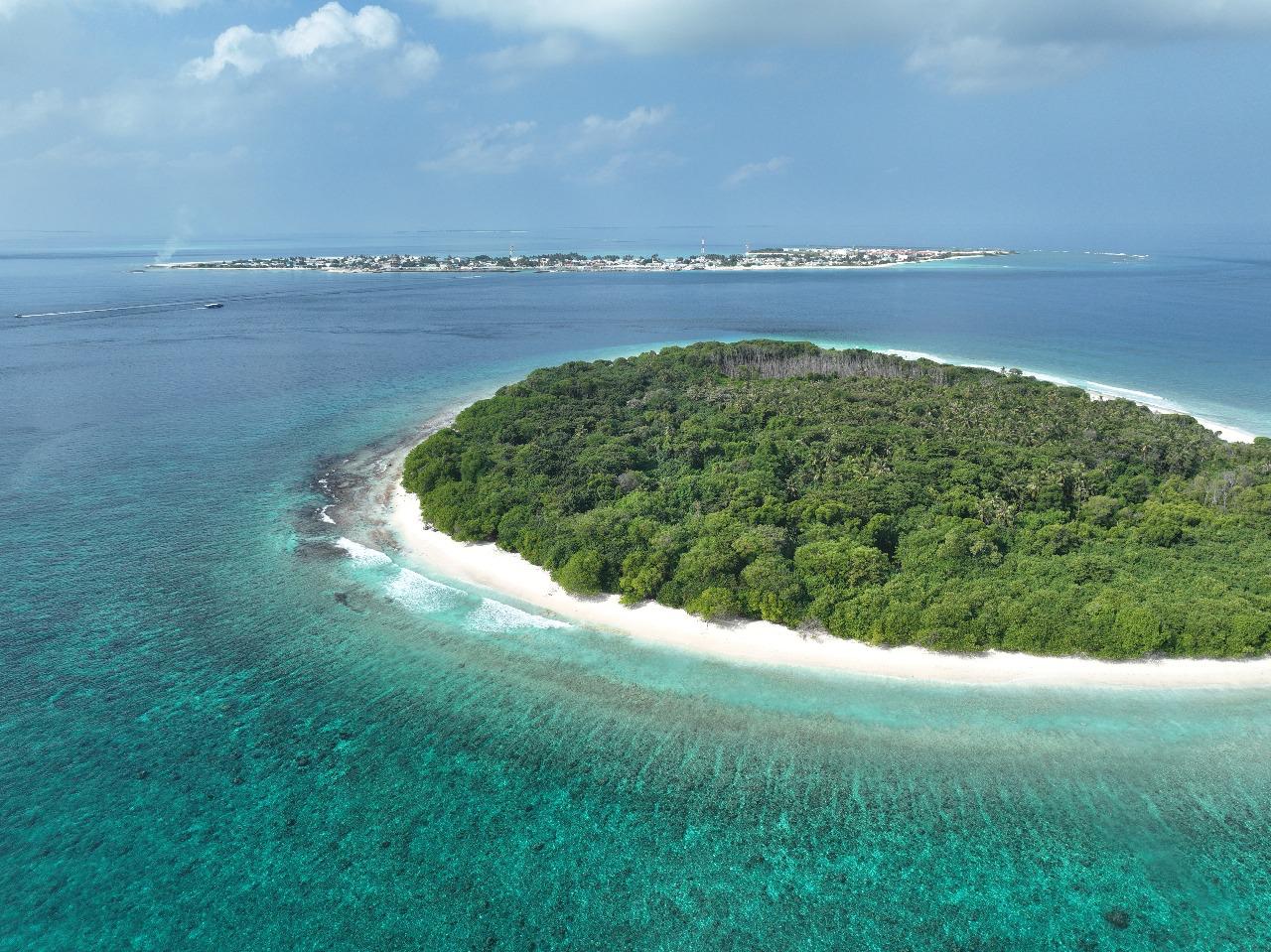
North Thiladhunmathi, Baarah
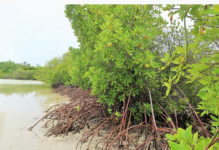
H A. Baarah boasts one of the Maldives’ most extensive mangrove wetlands, covering approximately 39 ...
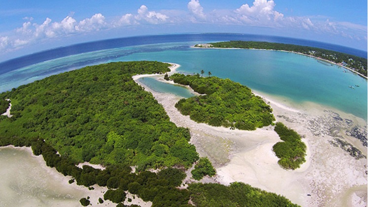
North Thiladhunmathi, Filladhoo
In early 2020, Fihladhoo in North Thiladhunmathi experienced significant mangrove dieback, mirroring...
To protect, preserve and pass it to the next generation we need to know what's out there and what changes are occurring to its ecosystems due to climate change and other factors! The aim of Malamathi is to empower communities and individuals to take part in documenting the ecosystems of Maldives. Share with us and take part in this community effort to document the Maldives and changes to its ecosystems over time!
We strive to document and preserve the beauty and biodiversity of the Maldives for future generations
Malamathi is an independent, citizen-driven platform that verifies and publishes island and ecosystem data and information from across the Maldives
© 2025 Malamathi. All rights reserved.
Document our Raajje! 🇲🇻