Nelivarufinolhu
Uninhabited Island
Code: B
About Nelivarufinolhu
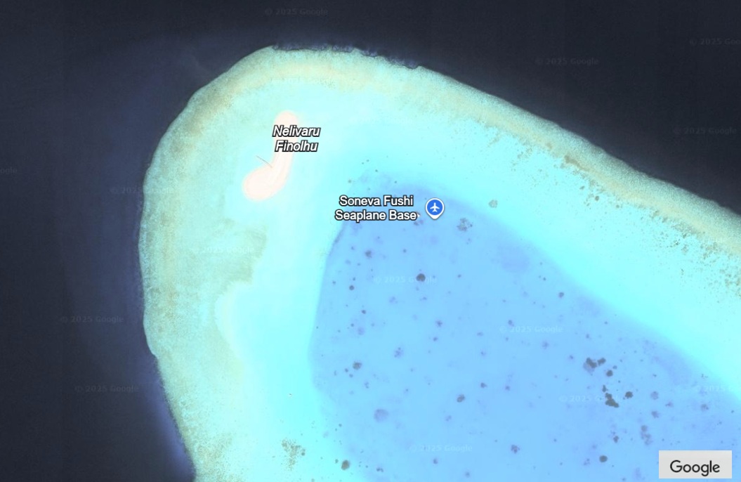
Nelivaru’s sandbank and faru support manta ray cleaning stations and serve as a rich fishing habitat. Locals have historically tapped its plankton-rich waters for baitfish, maintaining traditional fishing techniques. The nearby reef sustains diverse coral and fish species important to the surrounding marine ecosystem.
Island Information
Administrative
- Island Name
- Nelivarufinolhu
- Island Code
- B
- Atoll
- South Maalhosmadulu
- Island Type
- Uninhabited Island
- Regulating Authority
- Ministry of Tourism & Environment
- Primary Agency
- Ministry of Agriculture & animal welfare
Environmental Sites
Documented ecosystems and environmental sites on Nelivarufinolhu.
Nelivaru Area
DocumentedProtected Island / Sandbank
Nelivaru’s sandbank and faru support manta ray cleaning stations and serve as a rich fishing habitat. Locals have historically tapped its plankton-rich waters for baitfish, maintaining traditional fishing techniques. The nearby reef sustains diverse coral and fish species important to the surrounding marine ecosystem.
5.2733, 73.0650
View Details
Quick Stats
- Sites
- 1
- Zones
- 0
- Plots
- 0