Huraafaru
Other
Code: B
About Huraafaru
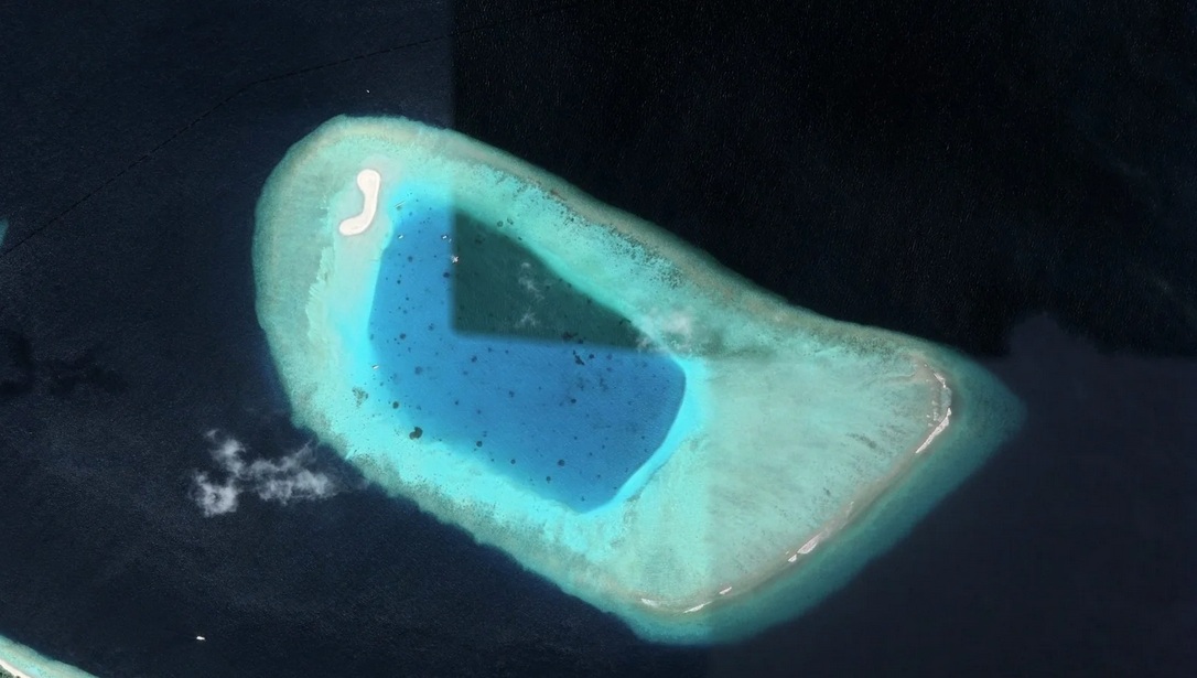
Huraafaru’s sandbank once served as a seasonal base for fishermen, providing calm anchorage and areas for fish cleaning and drying. Surrounding reefs host seabird colonies, healthy coral cover, and fish populations essential to the local marine environment.
Island Information
Administrative
- Island Name
- Huraafaru
- Island Code
- B
- Atoll
- South Maalhosmadulu
- Island Type
- Other
- Regulating Authority
- Ministry of Tourism & Environment
- Primary Agency
- Ministry of Agriculture & animal welfare
Environmental Sites
Documented ecosystems and environmental sites on Huraafaru.
Huraafaru Area
DocumentedMarine Protected Area / Protected Island / Sandbank
Huraafaru’s sandbank once served as a seasonal base for fishermen, providing calm anchorage and areas for fish cleaning and drying. Surrounding reefs host seabird colonies, healthy coral cover, and fish populations essential to the local marine environment.
5.2740, 73.1133
View Details
Quick Stats
- Sites
- 1
- Zones
- 0
- Plots
- 0