Dhigurah
Residential Island
Code: K
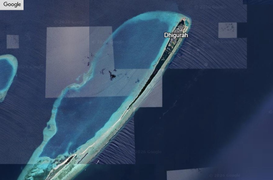
About Dhigurah
Dhigurah’s extraordinary feature is its proximity to the whale shark aggregation zone, one of the world’s most accessible locations to observe these gentle giants. The island’s long white sand beaches and reef systems sustain artisanal fisheries and attract snorkelers. Local schools, mosques, and markets form the social core of this traditional fishing community. Conservation efforts around marine life integrate tourism with sustainability, showing how ecological awareness is woven into daily practices. Dhigurah exemplifies the delicate balance between biodiversity, human livelihoods, and visitor engagement, providing an immersive experience of both natural wonder and island heritage.
Island Information
Geographic
- Area
- 55.04 hectares
- Nearest Island
- Dhihdhoofinolhu (4.47 km)
Coordinates: 3.5220, 72.9290
Administrative
- Island Name
- Dhigurah
- Island Code
- K
- Atoll
- South Ari Atoll
- Island Type
- Residential Island
- Regulating Authority
- Council
- Primary Agency
- Council
Quick Stats
- Sites
- 0
- Zones
- 0
- Plots
- 0