Furaveri
Tourism Island - Resort
Code: R
About Furaveri
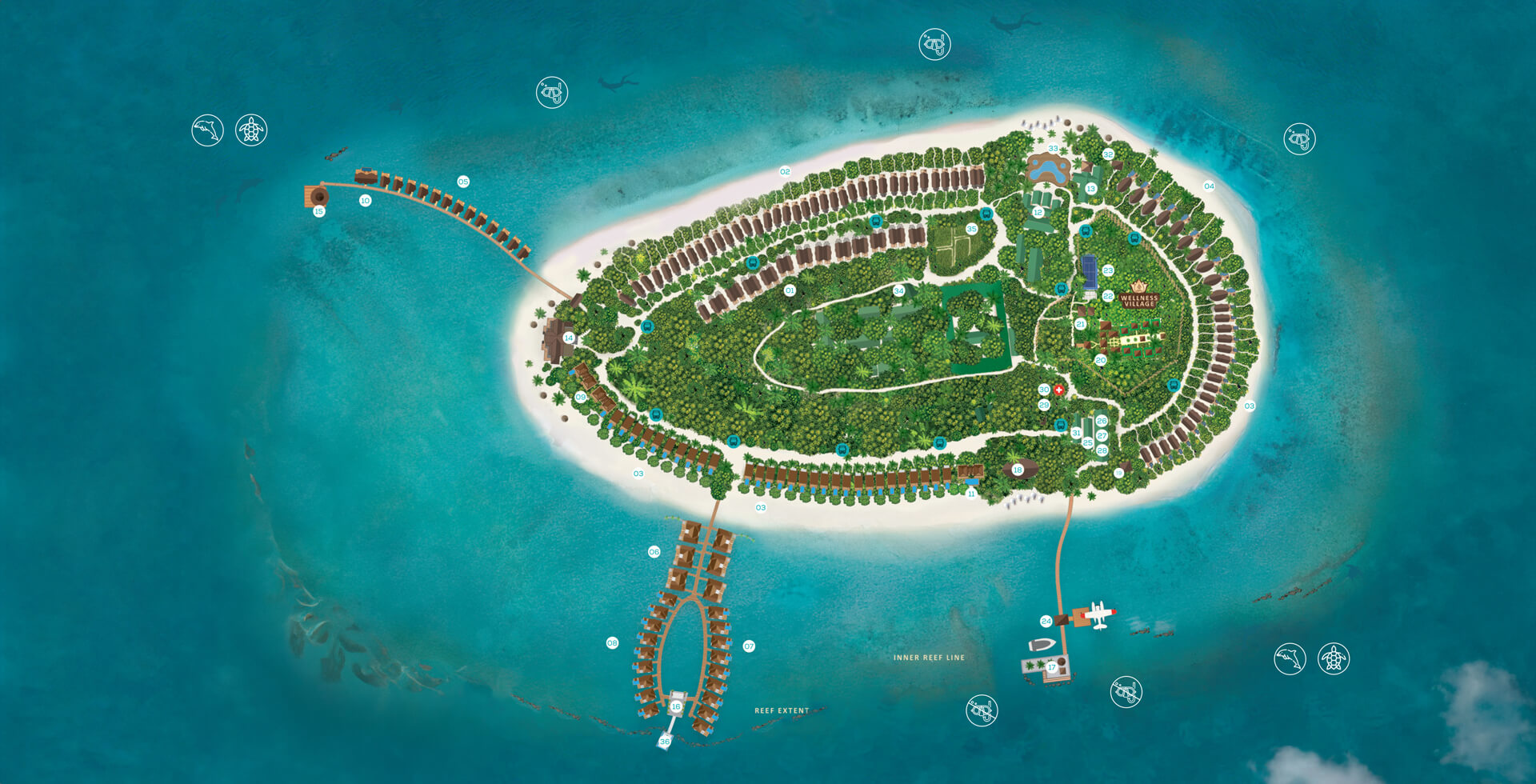
Furaveri, in the southwest of Raa Atoll, is a naturally formed 23-hectare island with a fringe of soft beaches and a protective reef alive with corals, reef fish, and sea turtles. Its interior is shaded by coconut palms, screw pines, and native shrubs that have long provided food, shelter, and raw materials. While uninhabited in recent history, Furaveri was once used by nearby islanders, especially from Fainu, for coconut harvesting, firewood gathering, and seasonal fishing. Its surrounding lagoon was a safe anchorage during rough seas, making it part of local travel and trade routes. The reef channels nearby were well-known fishing grounds, valued for both reef and pelagic species. Today, Furaveri still holds the spirit of a working island—part of the shared heritage of the atoll—offering a glimpse of how people once lived closely tied to the rhythm of the sea and the bounty of unspoiled islands.
Island Information
Administrative
- Island Name
- Furaveri
- Island Code
- R
- Atoll
- North Maalhosmadulu
- Island Type
- Tourism Island - Resort
- Regulating Authority
- Ministry of Tourism & Environment
- Primary Agency
- Ministry of Agriculture & animal welfare
Quick Stats
- Sites
- 0
- Zones
- 0
- Plots
- 0