Maamaduvvari
Uninhabited Island
Code: B
About Maamaduvvari
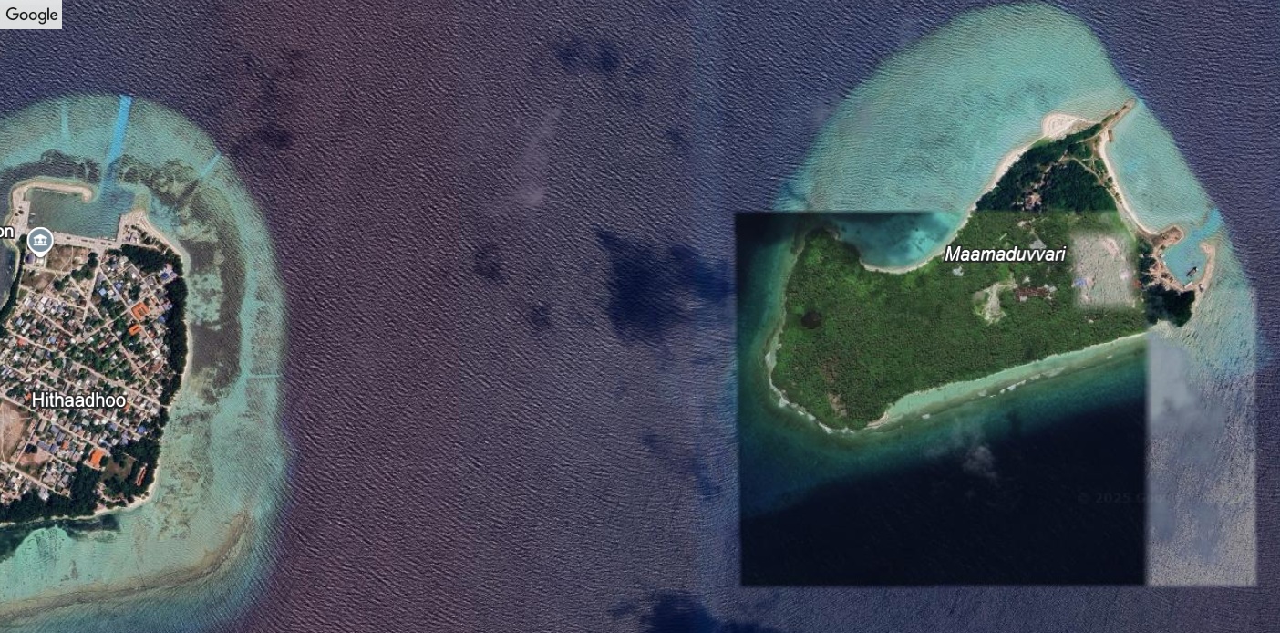
Maamaduvvari—a tranquil, uninhabited islet nestled off Hithaadhoo in Baa Atoll—spans around 35.9 hectares and sits at coordinates close to 5° 0′ 32″ N, 72° 56′ 30″ E. Geographically, it lies within the UNESCO-designated Baa Atoll Biosphere Reserve, a region celebrated for its rich coral reefs, diverse marine life, and delicate coastal ecosystems.
Environmentally, Maamaduvvari’s lagoon and surrounding reefs provide vital nursery areas for reef fish and support a variety of coastal vegetation. Its sandy shores blend into shallow turquoise waters, and its interior features plant cover that contributes to shoreline stability.
Historically, the islet served traditional roles for Hithaadhoo’s residents—used for small-scale farming, coconut gathering, and seasonal resource collection. In an atoll where land is scarce, such uninhabited islands held deep practical and cultural value. The return of Maamaduvvari to the Hithaadhoo community marks both a restoration of land rights and a reconnection with their heritage and environmental stewardship.
Island Information
Administrative
- Island Name
- Maamaduvvari
- Island Code
- B
- Atoll
- South Maalhosmadulu
- Island Type
- Uninhabited Island
- Regulating Authority
- Ministry of Tourism & Environment
- Primary Agency
- Ministry of Agriculture & animal welfare
Quick Stats
- Sites
- 0
- Zones
- 0
- Plots
- 0