Van'gaaru
Island Information
Administrative
- Island Name
- Van'gaaru
- Island Code
- HA
- Atoll
- North Thiladhunmathi
- Island Type
- Tourism- under dev
Environmental Sites
Documented ecosystems and environmental sites on Van'gaaru.
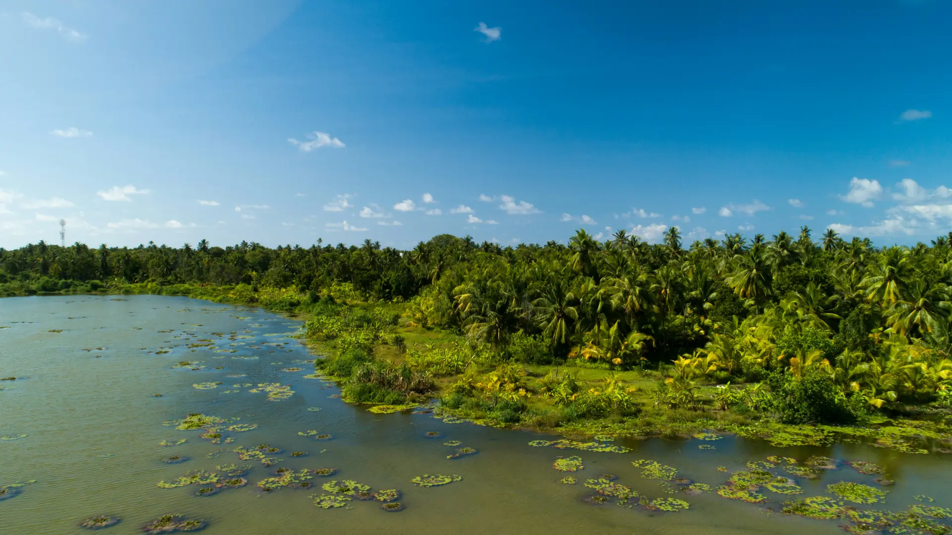
Van'gaaru Mangrove
UnknownMangrove/Wetland
Vangaaru’s mangrove is not large, but it holds its place quietly within the island’s landscape. These wetlands form where land dips and water lingers, creating a boundary between soil and sea. The mangroves slow erosion, filter runoff, and provide shelter for juvenile fish and small invertebrates. For residents, such places are often remembered less as “sites” and more as part of everyday life—areas once used carefully, sometimes avoided, sometimes depended on. What remains today reflects both use and restraint, a balance that still shapes the island.
Stay in Van'gaaru
Discover the perfect establishment for your island getaway
Alila Kothaifaru Maldives
Kothaifaru and nearby Kuroshigiri sit on a shared reef platform with relatively intact natural vegetation. The reef includes both shallow lagoon areas and deeper slopes. Compared to heavily modified islands, this area retains more of its original reef-island structure.
Quick Stats
- Sites
- 1
- Zones
- 0
- Plots
- 0
- Accommodations
- 1
- Total Beds
- 160
- Total Rooms
- 80