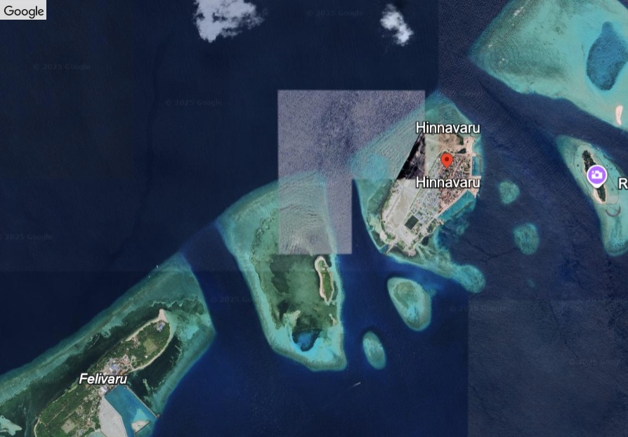
Hinnavaru
Residential Island
Code: Lh
About Hinnavaru
Hinnavaru is one of the most densely settled and populous islands in Lhaviyani Atoll, home to 4,989
registered population as of 2023. Known for its narrow, elongated shape, the island has a strong fishing tradition, particularly in bait fishing and reef fisheries, supported by several mechanized vessels. Public employment and local businesses add to the island’s economy. Urban development has shaped its landscape, with land reclamation and harbor expansion improving access and services. While natural vegetation is sparse, coconut palms and breadfruit trees are still found in residential areas. Hinnavaru hosts key facilities for the region, including a secondary school and a regional hospital, reflecting its role as a service center. The island’s modern infrastructure—covering water, sewerage, and electricity systems—further supports its active community life. With its strategic location and developed public services, Hinnavaru continues to function as a central administrative and economic island in Lhaviyani Atoll.
registered population as of 2023. Known for its narrow, elongated shape, the island has a strong fishing tradition, particularly in bait fishing and reef fisheries, supported by several mechanized vessels. Public employment and local businesses add to the island’s economy. Urban development has shaped its landscape, with land reclamation and harbor expansion improving access and services. While natural vegetation is sparse, coconut palms and breadfruit trees are still found in residential areas. Hinnavaru hosts key facilities for the region, including a secondary school and a regional hospital, reflecting its role as a service center. The island’s modern infrastructure—covering water, sewerage, and electricity systems—further supports its active community life. With its strategic location and developed public services, Hinnavaru continues to function as a central administrative and economic island in Lhaviyani Atoll.
Island Information
Administrative
- Island Name
- Hinnavaru
- Island Code
- Lh
- Atoll
- Faadhippolhu
- Island Type
- Residential Island
- Regulating Authority
- Council
- Primary Agency
- Council
Environmental Sites
Documented ecosystems and environmental sites on Hinnavaru.
Maakoa
DocumentedProtected Island / Sandbank
Maakoa is a protected island and sandbank located near Hinnavaru in Lhaviyani Atoll. Though uninhabited, its pristine beach and surrounding shallow lagoon offer an ecologically important habitat for nesting seabirds and juvenile marine species. The island's untouched character and natural sand formations make it a valuable conservation site within the atoll’s protected network.
5.4911, 73.5489
View Details
Quick Stats
- Sites
- 1
- Zones
- 0
- Plots
- 0