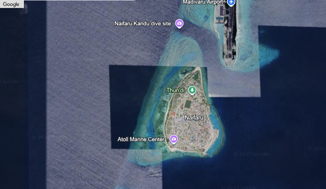
Naifaru
About Naifaru
Island Information
Administrative
- Island Name
- Naifaru
- Island Code
- Lh
- Atoll
- Faadhippolhu
- Island Type
- Residential Island
- Regulating Authority
- Council
- Primary Agency
- Council
Environmental Sites
Documented ecosystems and environmental sites on Naifaru.
Kuredhi Kandhuolhi
DocumentedMarine Protected Area (MPA)
Kuredhi Kandhuolhi, also known as Kurendhu Express, is a designated Marine Protected Area located near Naifaru in Lhaviyani Atoll. This site is known for strong currents that attract a variety of pelagic species, including sharks and tuna. Its reef structure supports vibrant coral and marine life, making it valuable for ecological conservation and a notable diving site.
Kuredhi Kandhuolhi (Kurendhu Express)
DocumentedMarine Protected Area / Protected Island / Sandbank
Located near Naifaru, the Senhihifushi and Huraidhoo area is a designated Marine Protected Area encompassing both island and sandbank features. The site includes coastal ecosystems with fringing reefs and lagoon systems that support biodiversity such as nesting seabirds and coral-associated fish. Its protected status aims to conserve these habitats and the surrounding marine environment.
Senhihifushi & Huraidhoo Region
DocumentedMarine Protected Area / Protected Island / Sandbank
This protected area near Naifaru includes the uninhabited islands of Senhihifushi and Huraidhoo and adjacent sandbanks. The region features shallow lagoons, seagrass beds, and coral habitats that support marine life such as reef fish, rays, and sea turtles. As a Marine Protected Area, it contributes to ecosystem conservation while maintaining cultural and ecological value for surrounding communities.
Vavvaru
DocumentedMarine Protected Area / Protected Island / Sandbank
Vavvaru is a small uninhabited island designated as a Marine Protected Area. Surrounded by sandbanks and vibrant coral reefs, it supports a variety of marine life including reef fish, crustaceans, and sea birds. The surrounding lagoon and reef flat are ecologically significant and offer shelter for juvenile marine species. Its proximity to Naifaru makes it accessible for environmental monitoring and conservation efforts.
Dhashugirifinolhu (Dhashugiri)
DocumentedTerrestrial
Dhashugiri is a protected island and sandbank near Naifaru, within Lhaviyani Atoll. Though uninhabited, it is ecologically valuable, featuring sandy shores and coastal vegetation that support nesting seabirds. The surrounding shallow lagoon and reef flat provide a calm marine environment, essential for coral growth and fish nurseries. Its proximity to inhabited islands increases its relevance for local environmental awareness and conservation.
Quick Stats
- Sites
- 5
- Zones
- 0
- Plots
- 0