Madulu
Island Information
Administrative
- Island Name
- Madulu
- Island Code
- HA
- Atoll
- North Thiladhunmathi
- Island Type
- Uninhabited Island
Environmental Sites
Documented ecosystems and environmental sites on Madulu.
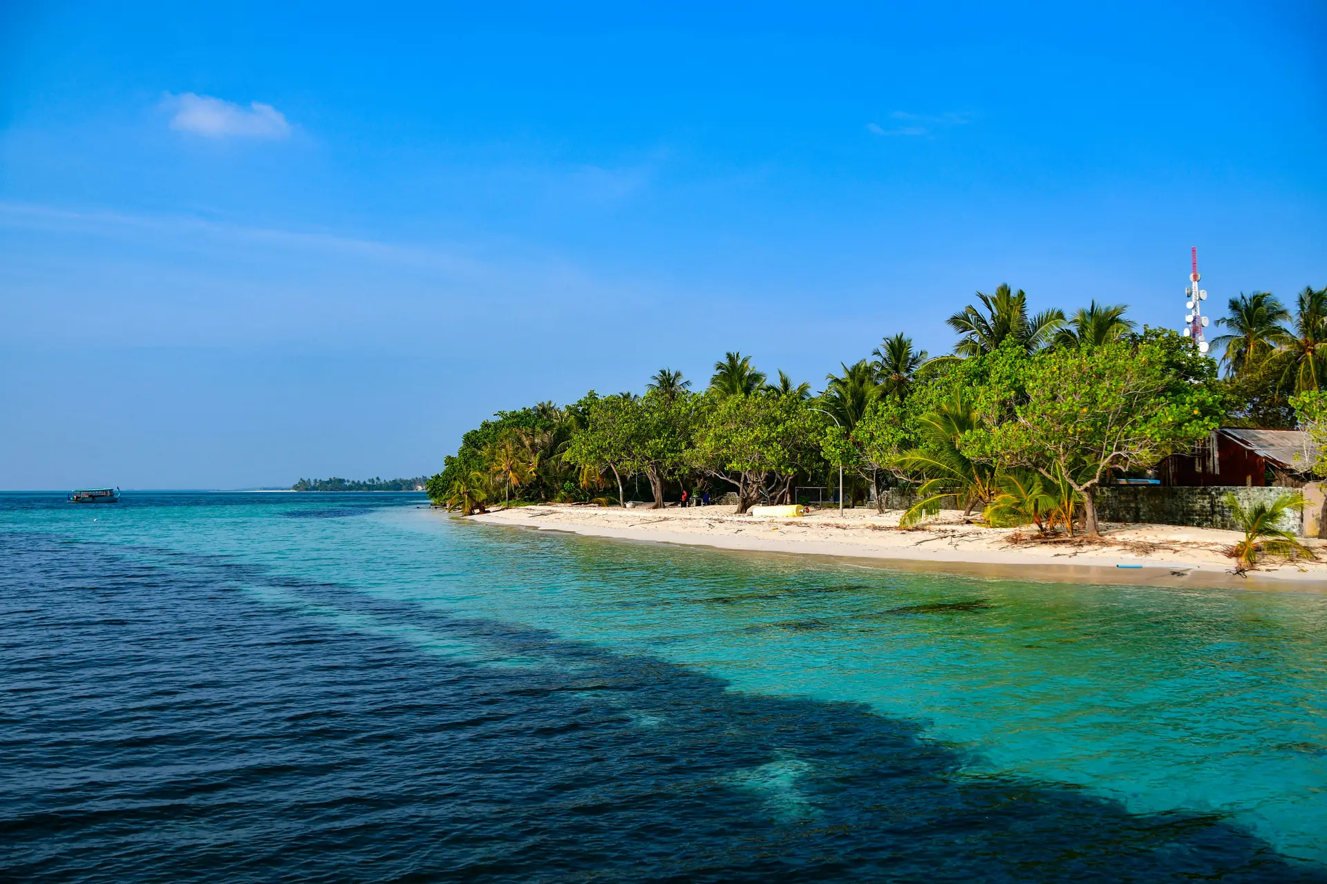
Madulu Mangrove
UnknownMangrove/Wetland
On Madulu, the mangrove occupies low-lying ground where tidal influence is subtle but constant. The system depends on this exchange, bringing nutrients while preventing stagnation. Mangroves create shelter for small marine life, many of which later move to nearby reefs. The wetland also protects the island by reducing erosion and trapping sediment. For those familiar with the island, such places are known rather than highlighted—part of the background that supports life. Its value is steady, not visible at a glance but essential over time.
Stay in Madulu
Discover the perfect establishment for your island getaway
Reethi Beach Resort
Fonimagoodhoo sits along the outer edge of Baa Atoll where the reef slopes toward deeper water. The island formed as coral sand accumulated along the reef crest and was stabilized by vegetation. Historically such islands were visited intermittently by nearby communities. The surrounding reef system supports a range of coral and fish species characteristic of northern Maldivian atolls.
Quick Stats
- Sites
- 1
- Zones
- 0
- Plots
- 0
- Accommodations
- 1
- Total Beds
- 260
- Total Rooms
- 130