Meerufenfushi
Tourism Island - Resort
Code: K
About Meerufenfushi
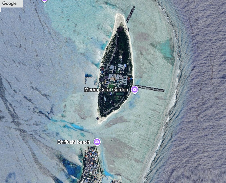
Meerufenfushi lies at the eastern edge of North Malé Atoll, a well-known natural island long used by nearby communities for fishing stops and drying fish. Its reef platform supports abundant coral life and is part of a natural sandbank chain that stabilizes the atoll’s outer rim.
Island Information
Administrative
- Island Name
- Meerufenfushi
- Island Code
- K
- Atoll
- Male' Atoll
- Island Type
- Tourism Island - Resort
- Regulating Authority
- Ministry of Tourism & Environment
- Primary Agency
- Ministry of Agriculture & animal welfare
Stay in Meerufenfushi
Discover the perfect establishment for your island getaway
Resort
Meeru Maldives Resort Island
Meerufenfushi, Male' Atoll
286 beds
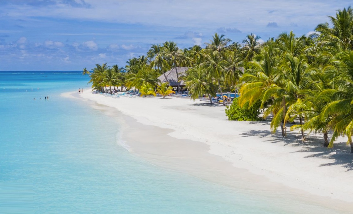
Meeru Maldives Resort Island in North Malé Atoll preserves a rich cover of mature coconut palms, sea hibiscus, and beach creepers that protect its natural shoreline. The island’s surrounding lagoon supports vibrant coral patches and seagrass beds frequented by juvenile fish and rays. Its landscape still reflects the form of old inhabited islands, shaded, green, and closely tied to the life of the lagoon.
Quick Stats
- Sites
- 0
- Zones
- 0
- Plots
- 0
- Accommodations
- 1
- Total Beds
- 286