Kaashidhoo
Residential Island
Code: K
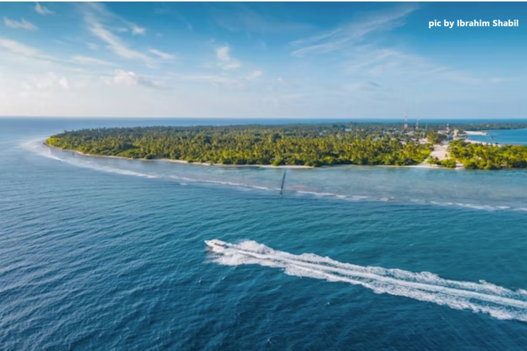
About Kaashidhoo
Kaashidhoo is one of the largest inhabited islands in the Maldives by land area, measuring approximately 2.23 km². Its 2023 population was 1,931. Located in the Kaashidhoo Kandu channel between Malé and Lhaviyani atolls, the island is agriculturally productive, with significant cultivation of banana, taro, coconut, and watermelon. Unlike most Maldivian islands, Kaashidhoo has interior land suitable for farming. The island supports fishing, farming, and trade. Infrastructure includes a large school, health center, mosque, and a regional agricultural extension office. The reef supports reef fish and bait fishing. Inland freshwater aquifers supplement rainwater collection. Historical remains of a Buddhist stupa were discovered on the island, indicating pre-Islamic habitation. Vegetation is extensive, and farm plots are systematically laid out. Kaashidhoo’s combination of fertile land, historical value, and strategic mid-channel location gives it a unique character in the Maldivian archipelago.
Island Information
Administrative
- Island Name
- Kaashidhoo
- Island Code
- K
- Atoll
- Male' Atoll
- Island Type
- Residential Island
- Regulating Authority
- Council
- Primary Agency
- Council
Environmental Sites
Documented ecosystems and environmental sites on Kaashidhoo.
Kaashidhoo Wetland
DocumentedWetland
Kaashidhoo Wetland is one of the few known freshwater wetland systems in the Maldives. It provides important habitat for native wetland birds, freshwater crabs, and plant species, including some used in traditional medicine. Located at the center of Kaashidhoo Island, the wetland also helps with groundwater recharge and flood control. Seasonal rainfall supports temporary pools, and the area shows signs of peaty soil. Community members have long referred to the site for its ecological and cultural value. Conservation efforts are limited, and the area faces pressures from waste dumping and land reclamation.
5.0300, 73.4670
View Details
Quick Stats
- Sites
- 1
- Zones
- 0
- Plots
- 0