
Addu Atoll
53
Islands
0
Sites
0
Population
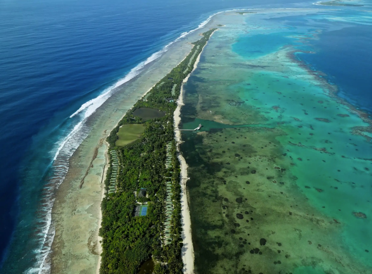
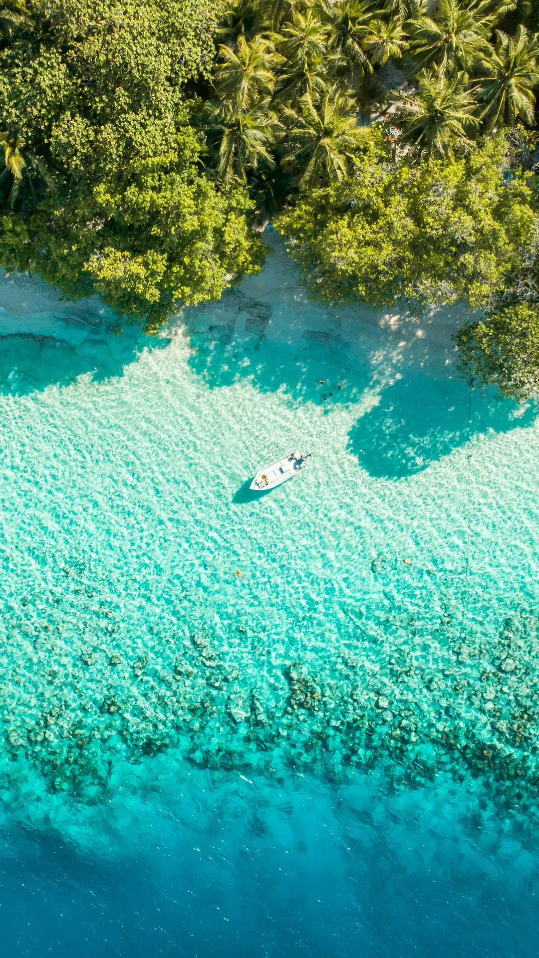
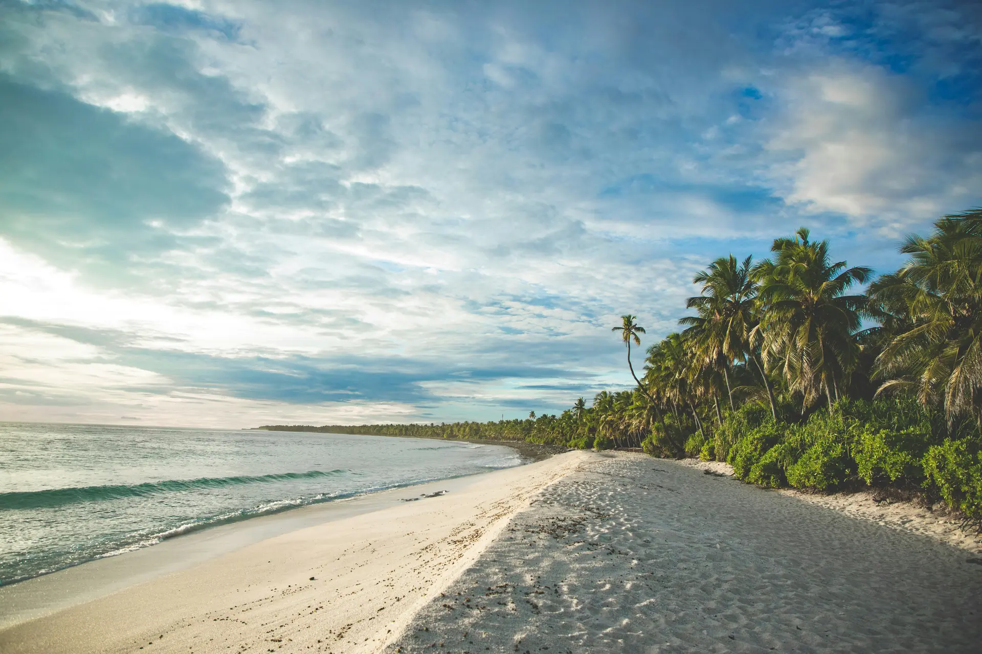
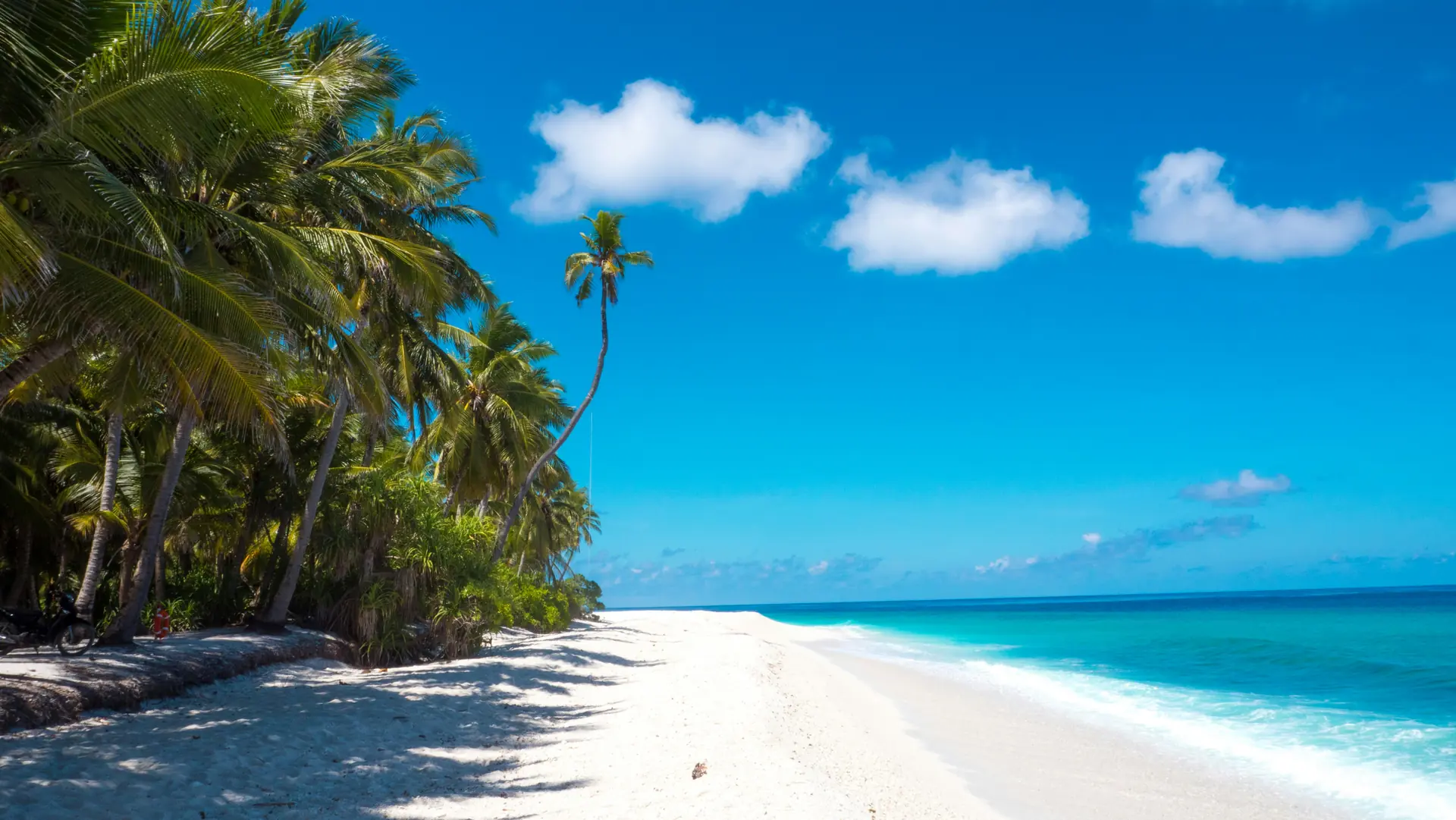
About Addu Atoll
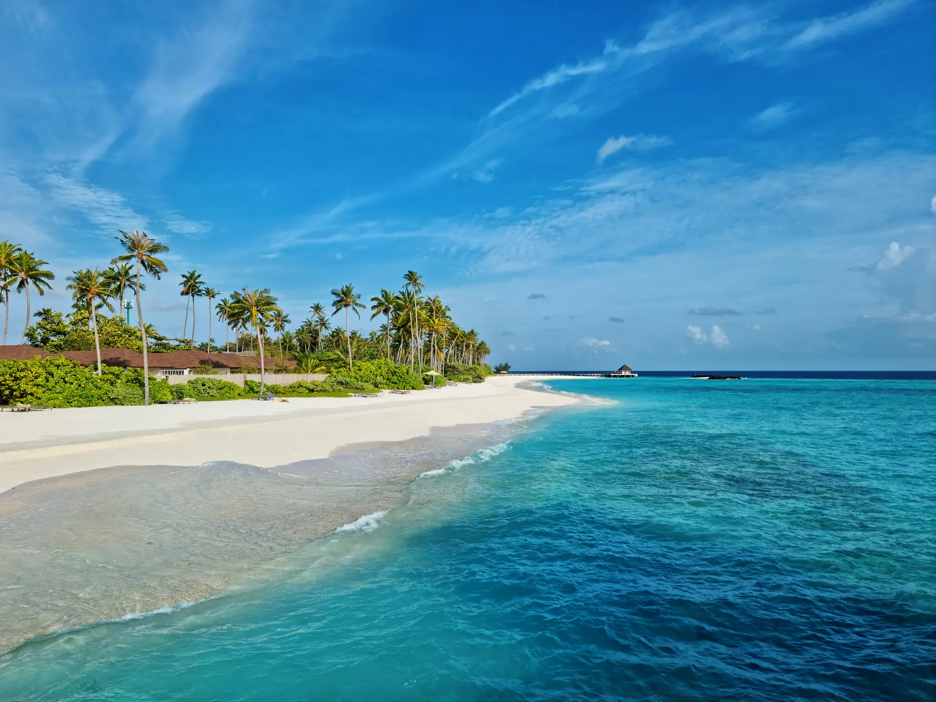
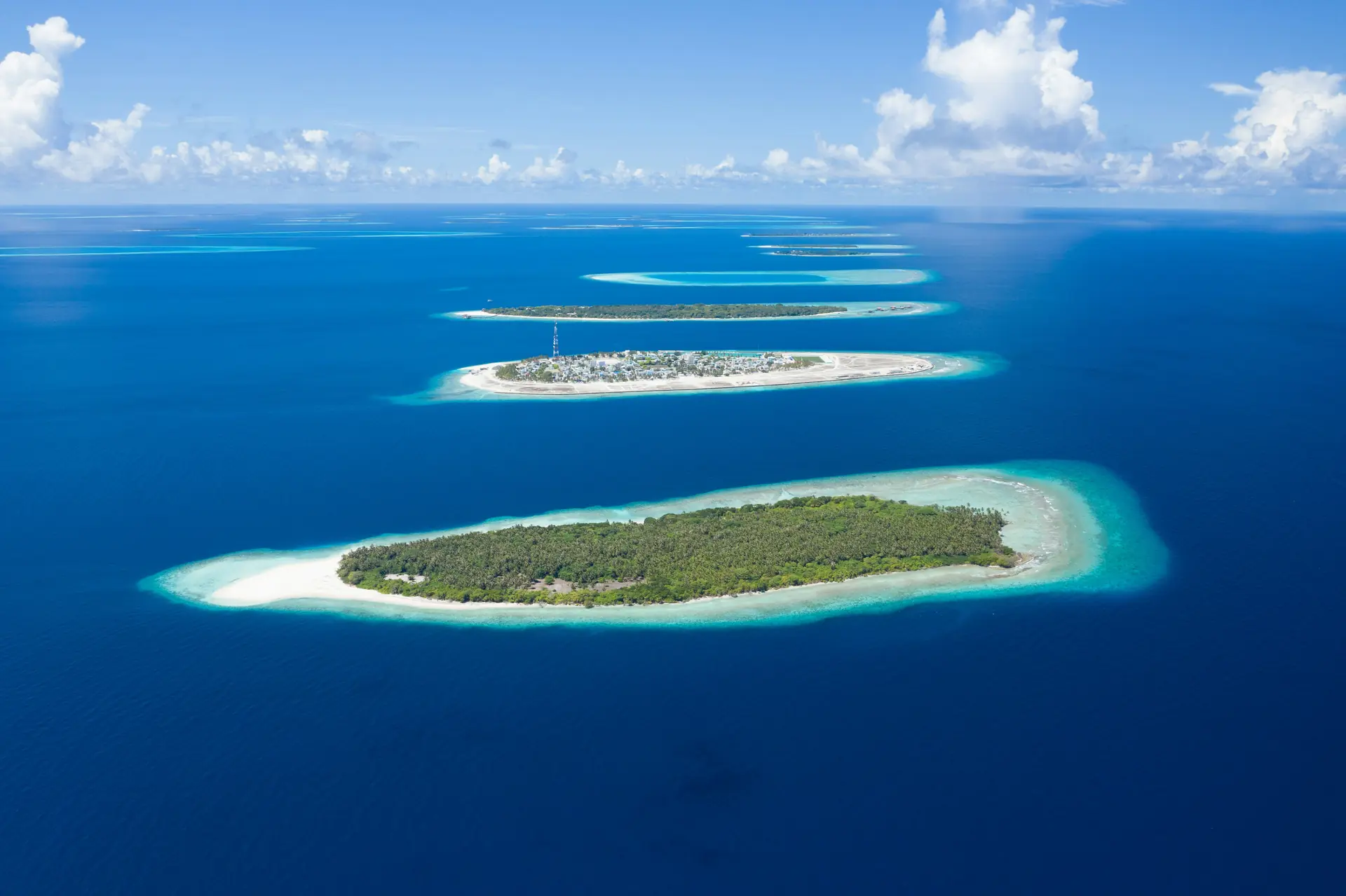
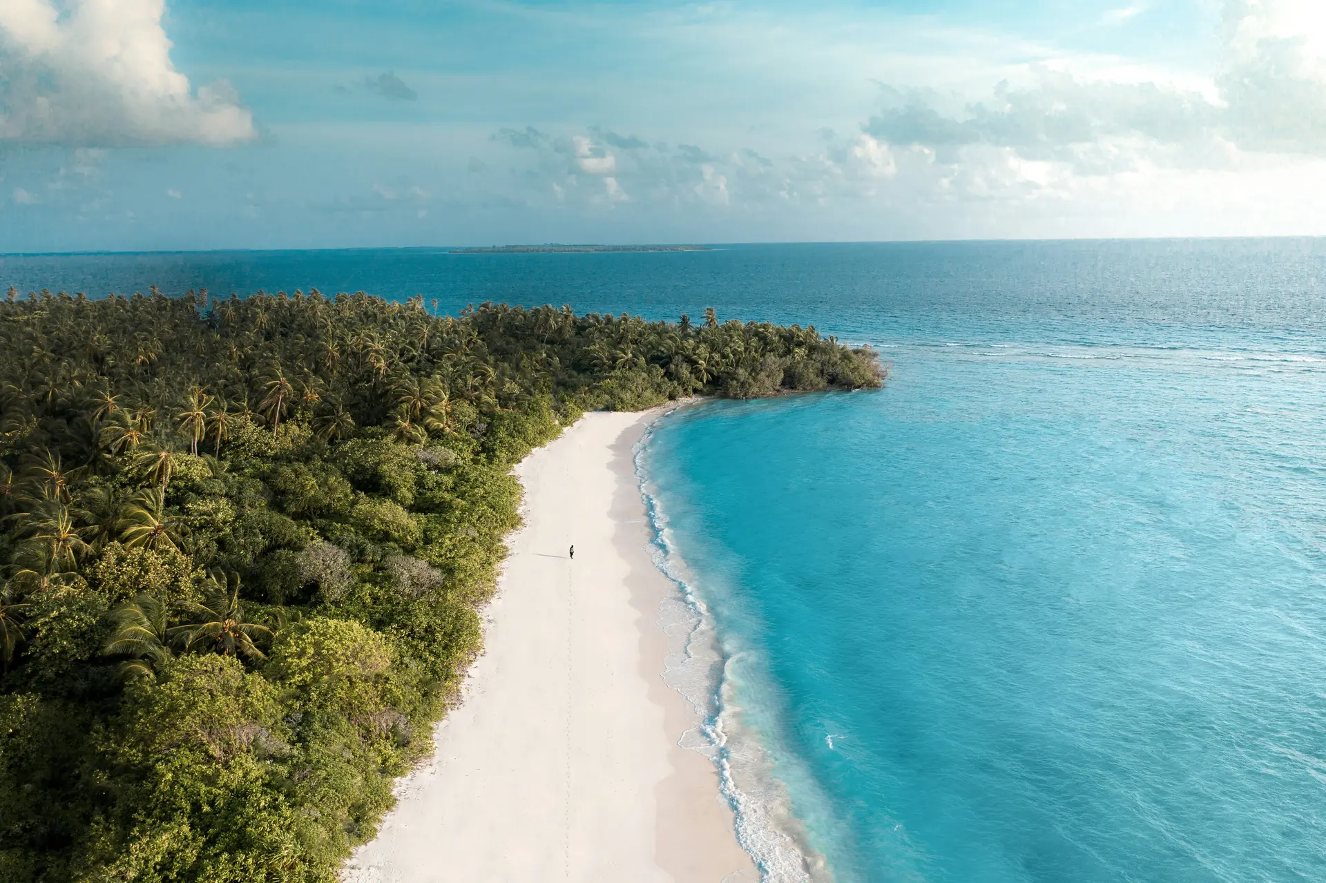
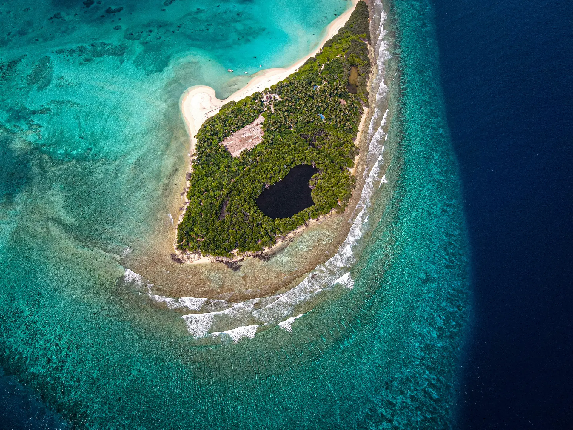
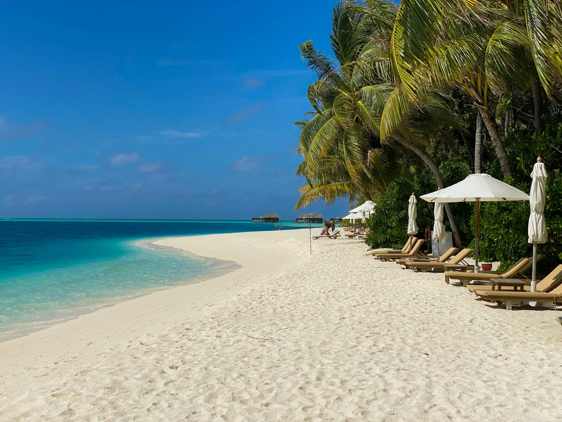
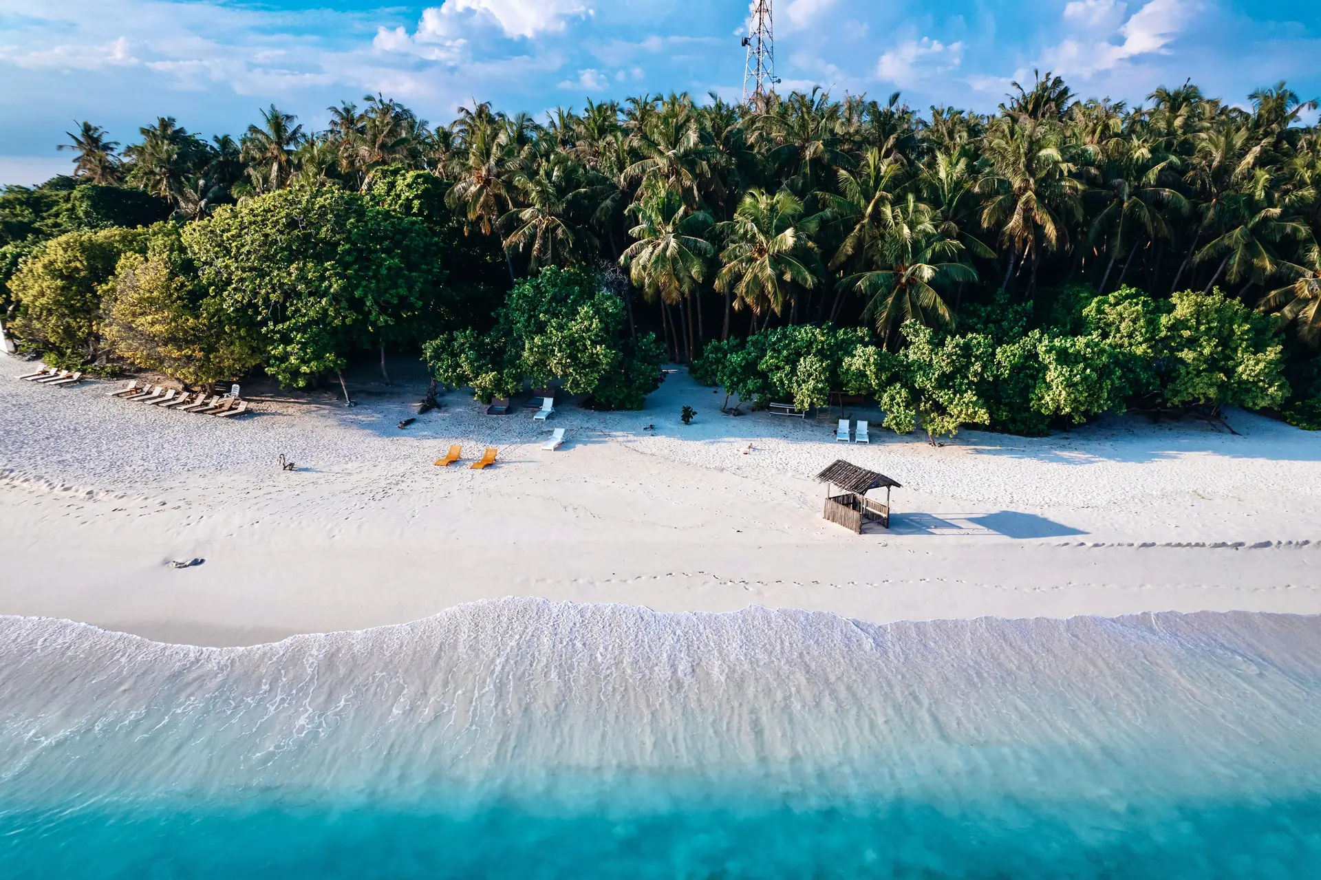
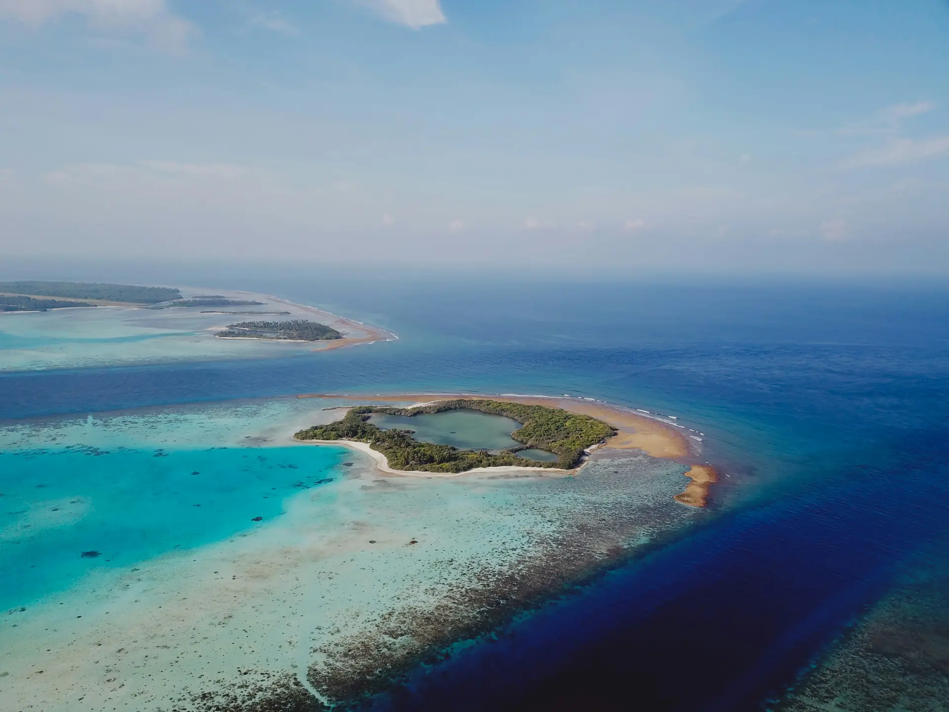
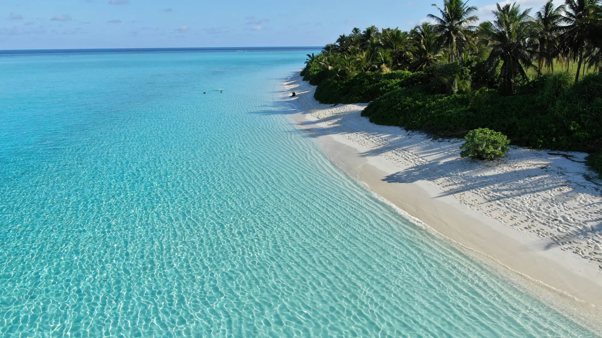
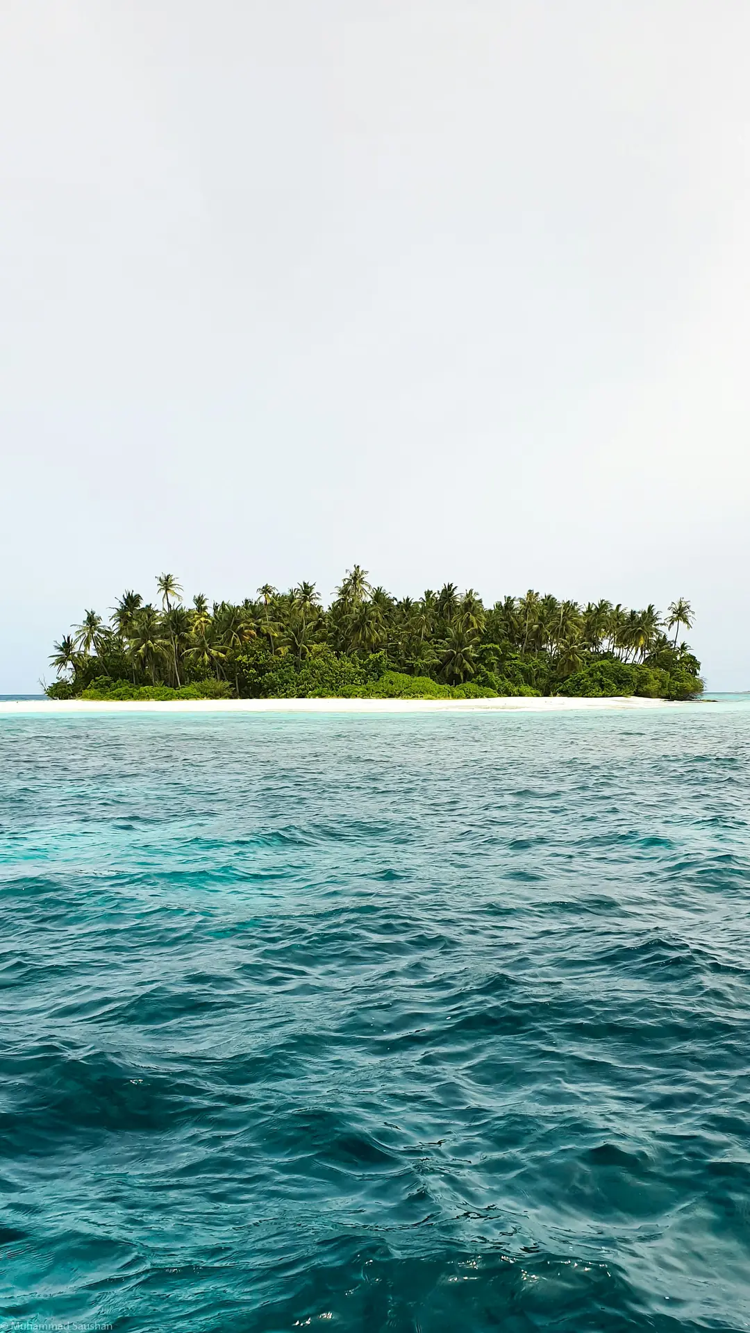
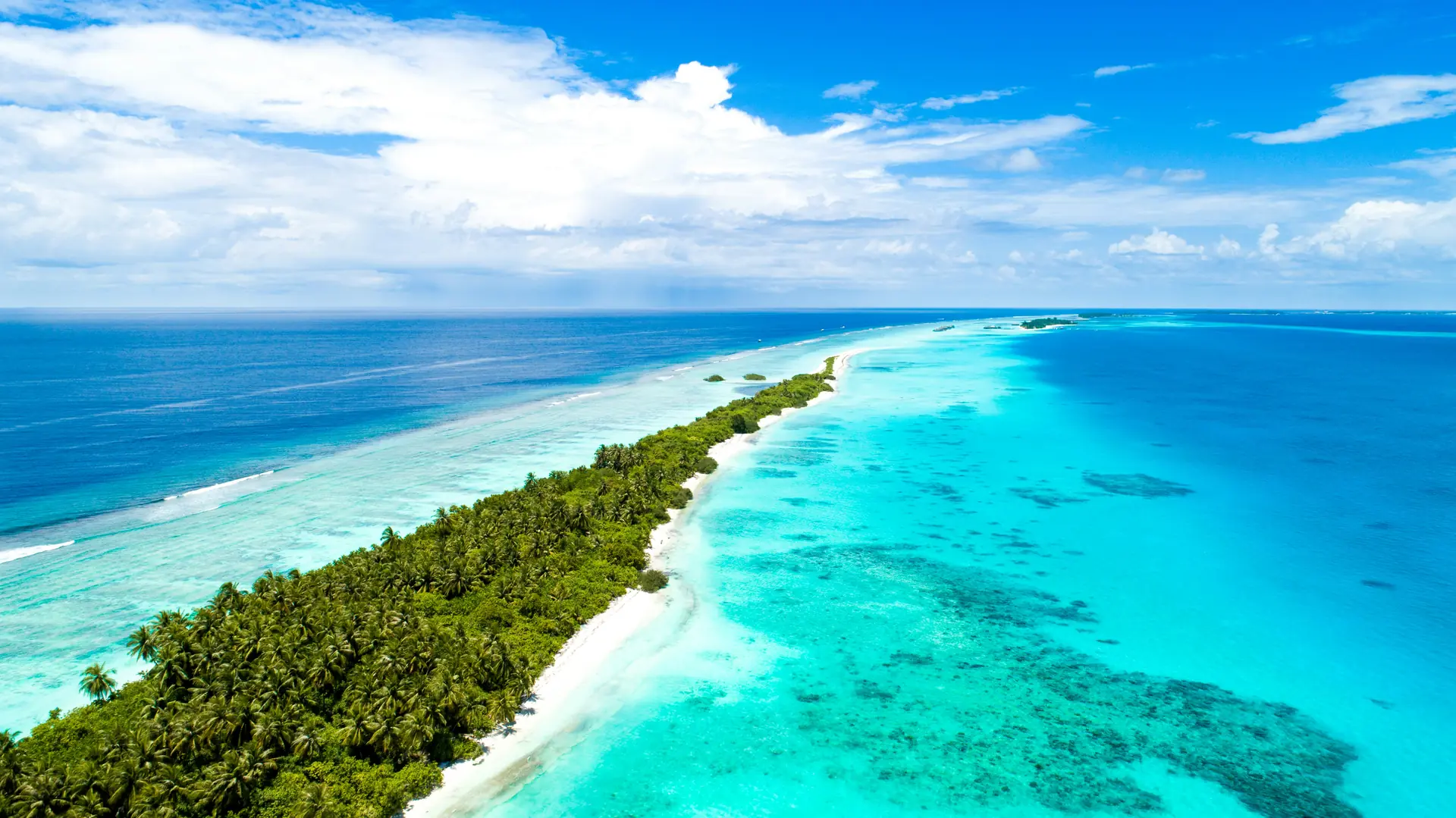
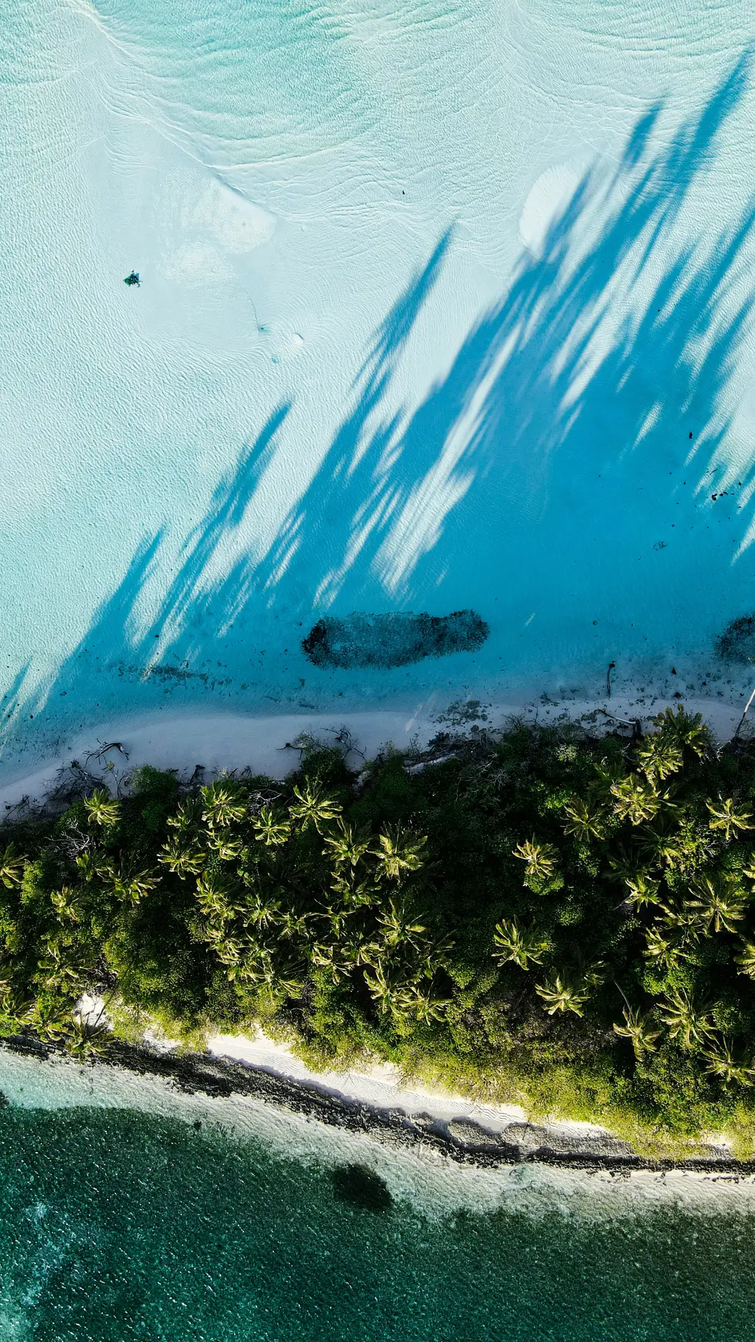
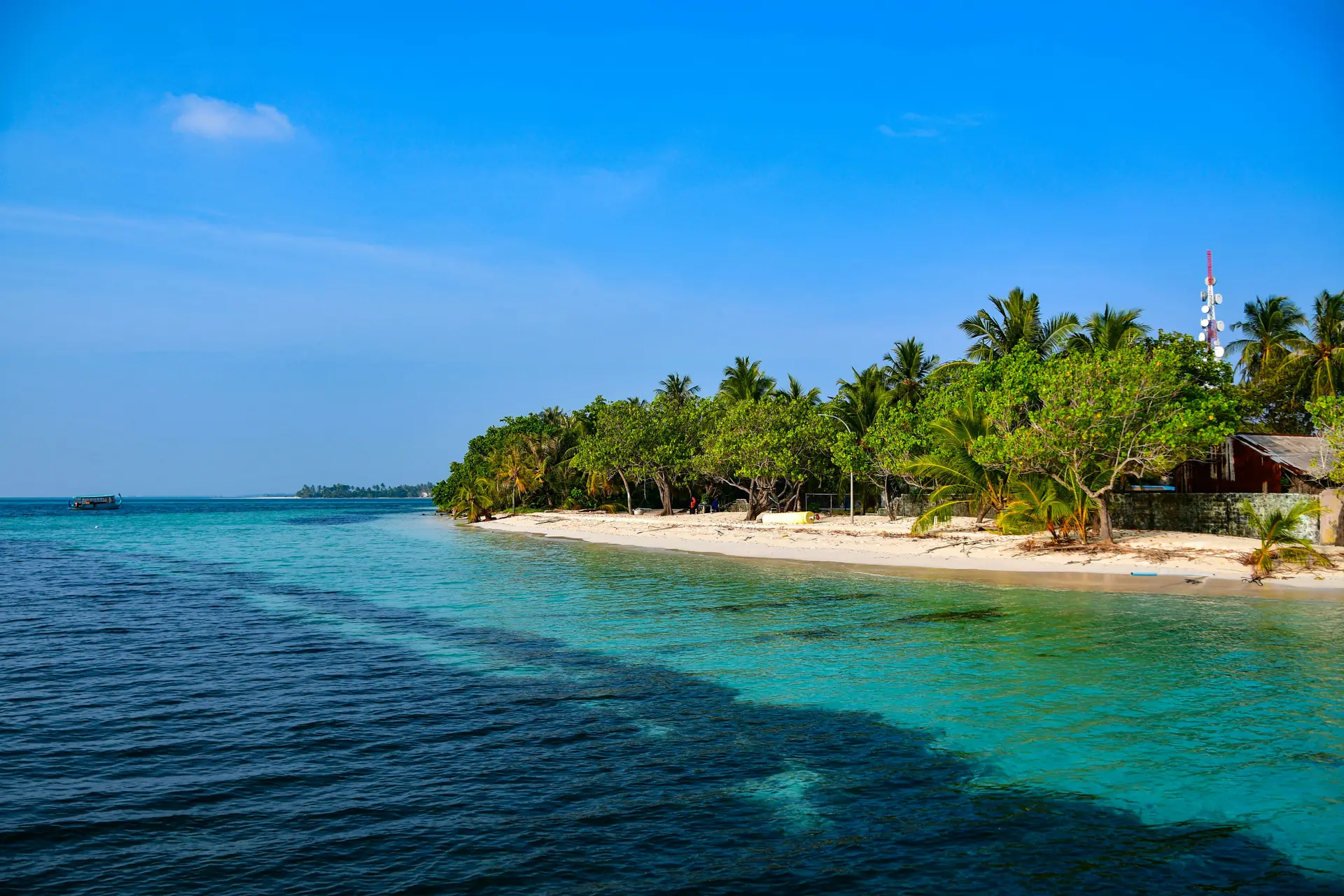
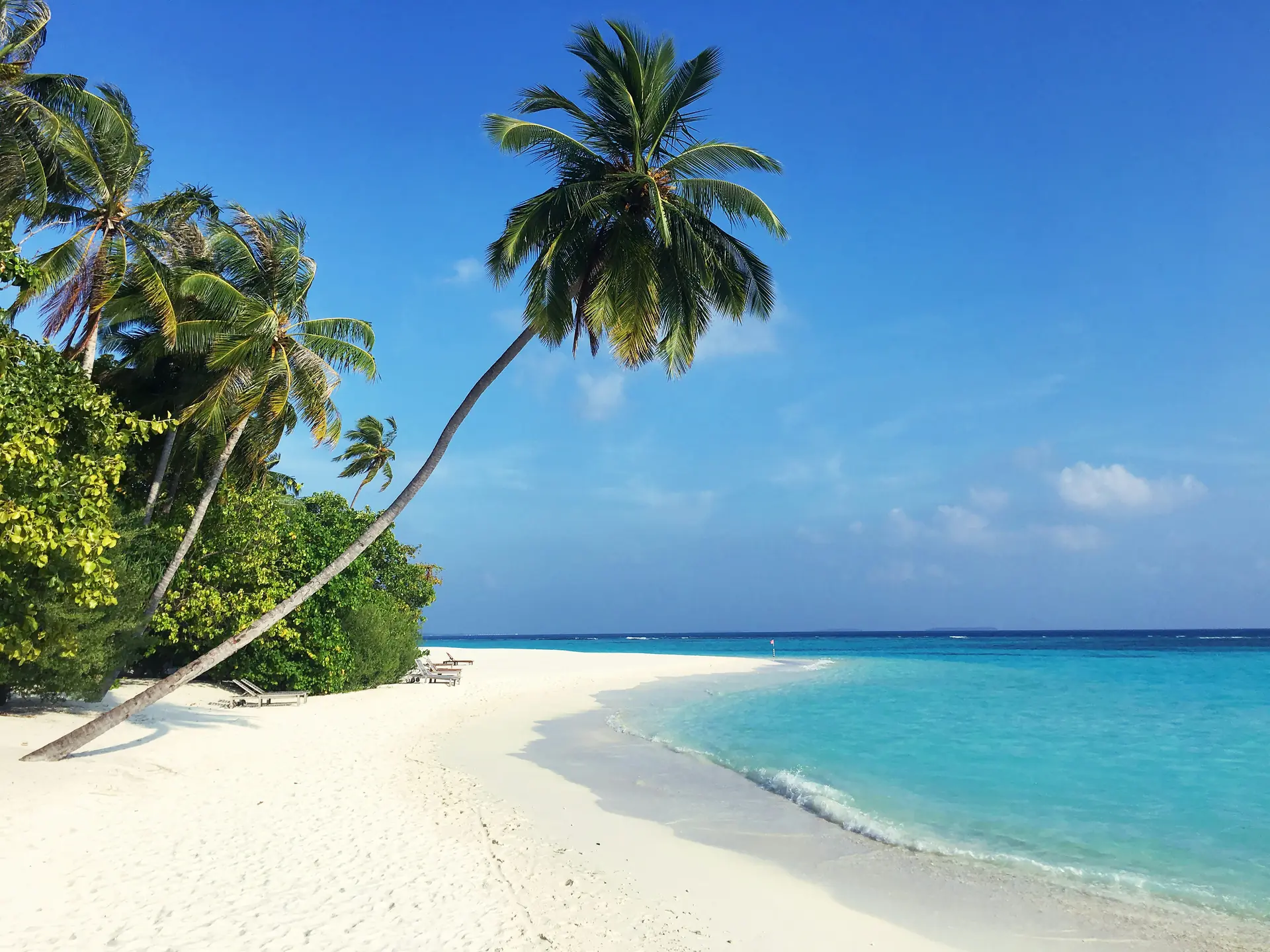
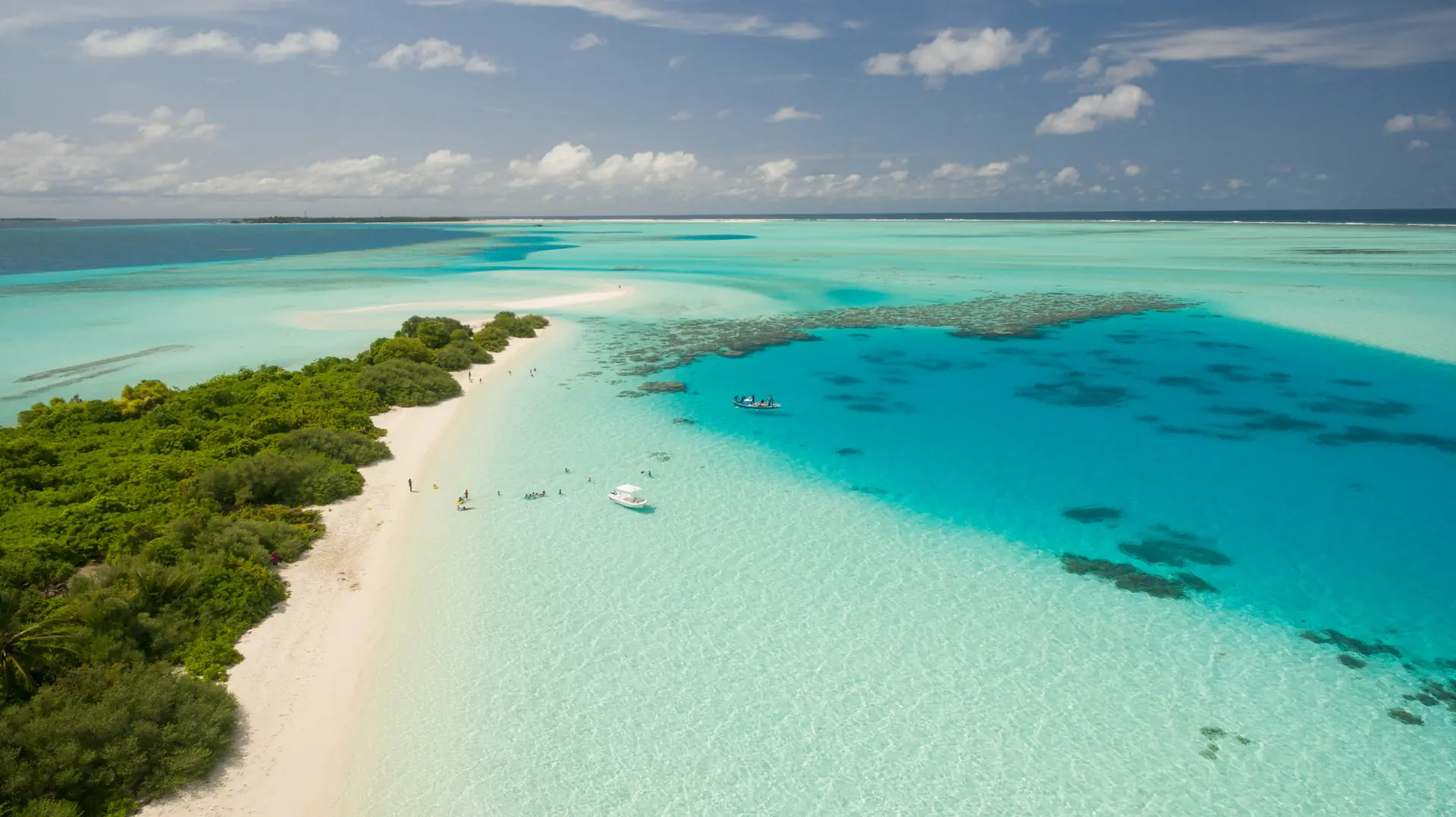
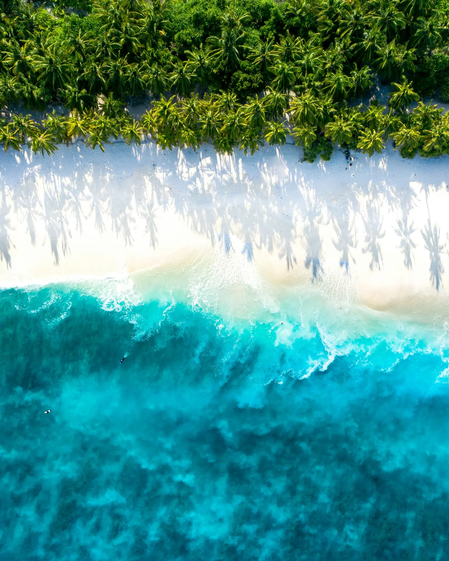
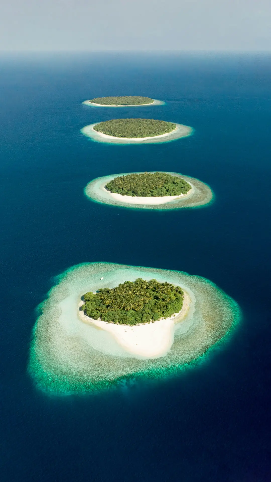
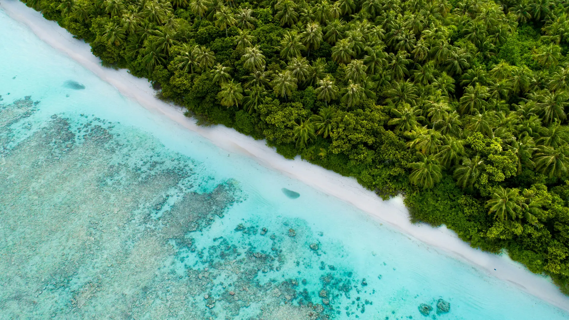
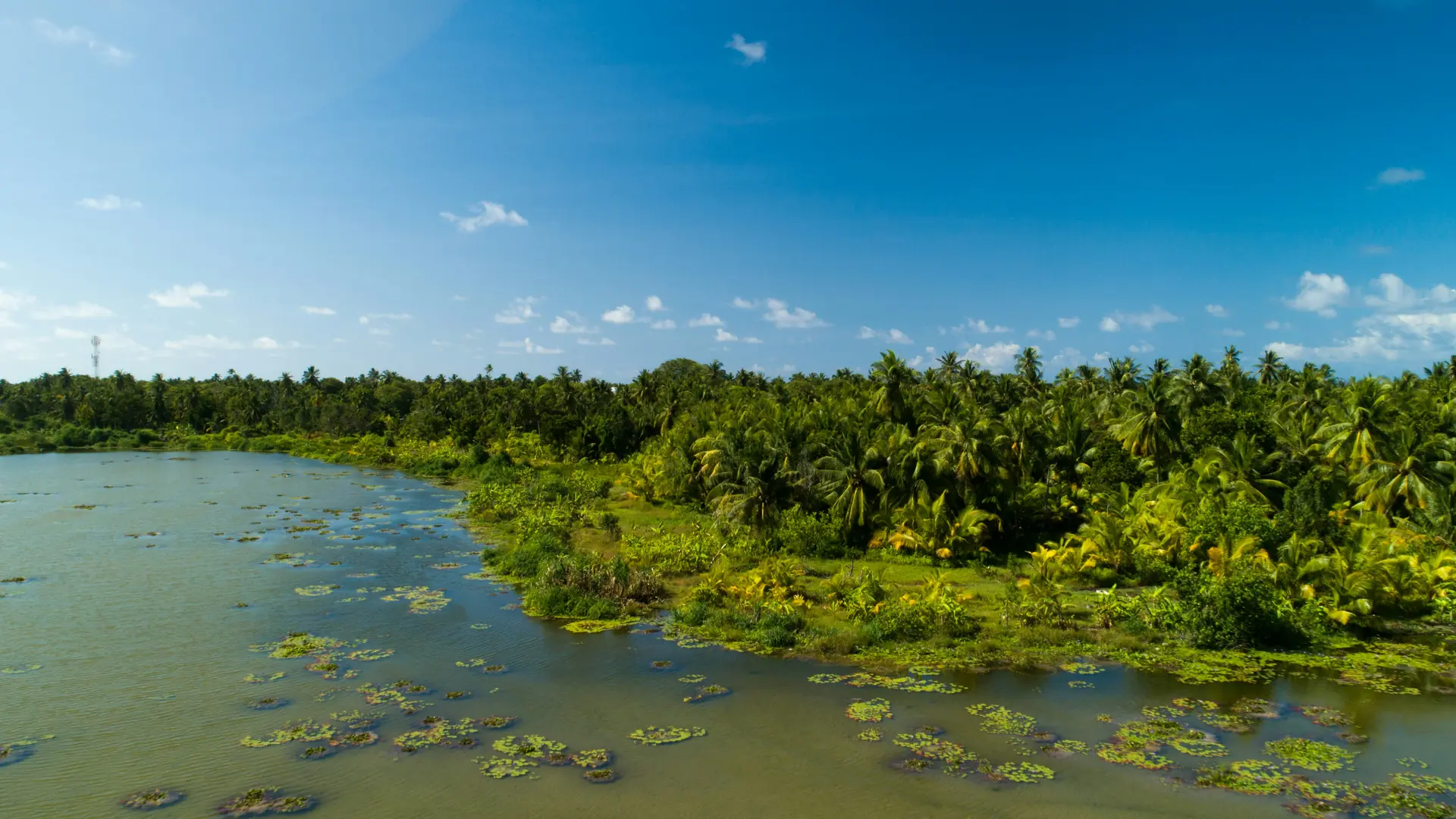
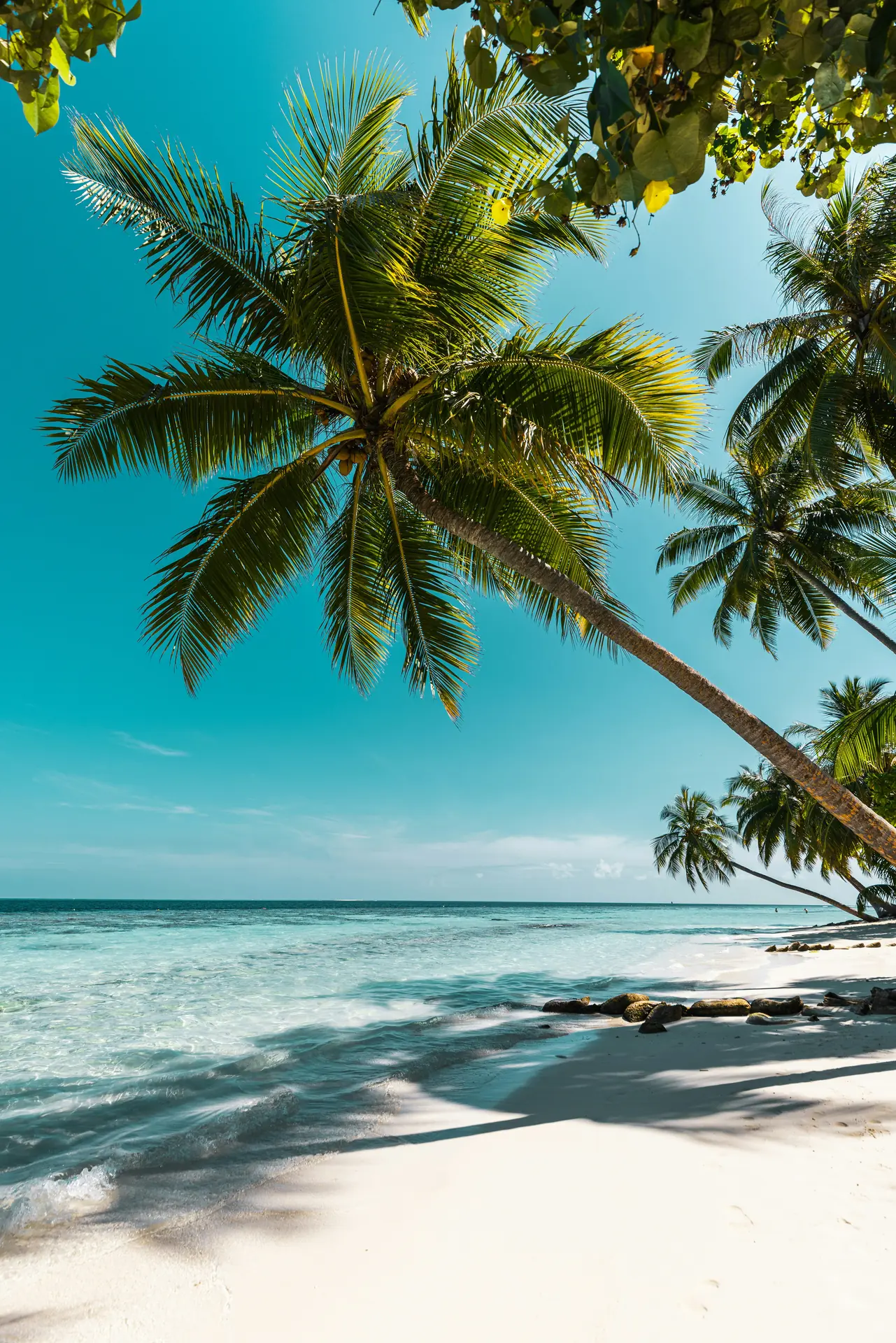
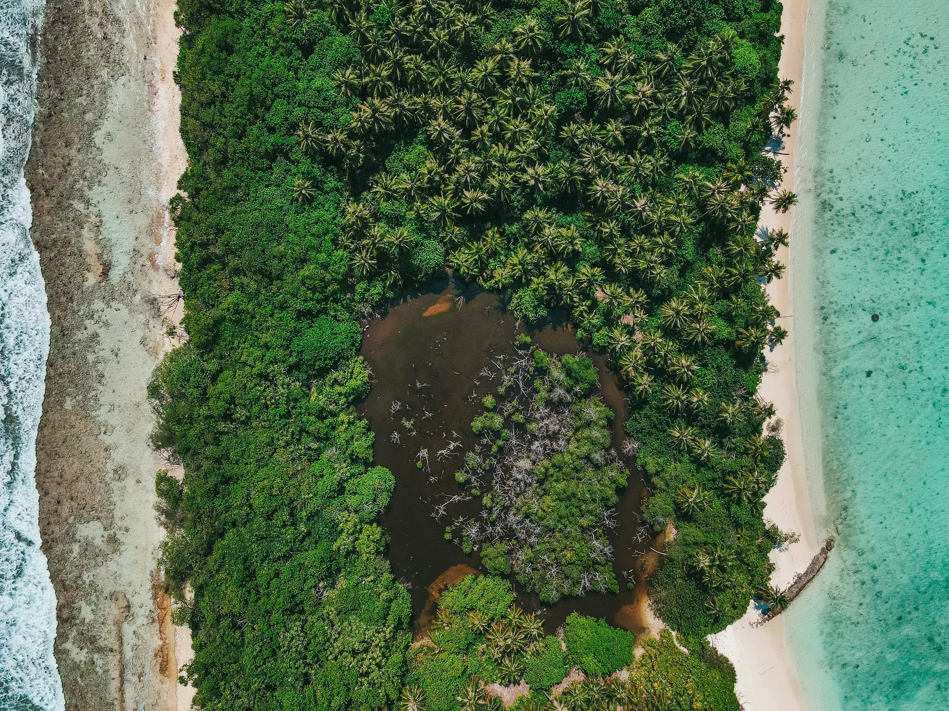
Addu Atoll, the southernmost atoll of the Maldives, stands out for its unique geography and historical significance. Unlike most other atolls, it has a natural, continuous ring-like formation and is the only atoll in the Maldives with true islands encircling a lagoon. The atoll played a key role during World War II and the Cold War, housing a British Royal Air Force base on Gan Island, remnants of which still exist today. The causeway system, which connects several inhabited islands—Feydhoo, Maradhoo, Hithadhoo, and Gan—is the longest road in the country. Addu also has the second-largest population among Maldivian atolls. Its southern position places it just south of the equator, influencing its ecology; the region supports species and vegetation not commonly seen in the central or northern atolls. The atoll’s environment includes rich mangroves, wetlands, and some of the deepest lagoons in the Maldives, along with coral reefs and channels.
Islands in Addu Atoll
Explore the 53 islands that make up this atoll

Meedhoo
Residential IslandCode: S
187.73
ha
0
Sites

Feydhoo
Residential IslandCode: S
122.34
ha
0
Sites

Hithadhoo
Residential IslandCode: S
551.28
ha
0
Sites

Maradhoo
Residential IslandCode: S
60.14
ha
0
Sites

Maradhoofeydhoo
Residential IslandCode: S
34.27
ha
0
Sites

Hulhudhoo
Residential IslandCode: S
135.00
ha
0
Sites
Herethere
Tourism Island - ResortCode: S
81.40
ha
0
Sites
Vilin'gili
Tourism Island - ResortCode: S
0
Sites
Bedhey Aurah
Uninhabited IslandCode: S
0
Sites

Hankede
Tourism Island - ResortCode: S
0
Sites
Dheeron'di
Uninhabited IslandCode: S
0
Sites
Mulikede
Tourism Island - ResortCode: S
0
Sites

Kan'diheragan'du
Uninhabited IslandCode: S
0
Sites
Kudamaahera
Uninhabited IslandCode: S
0
Sites
Boduhajaraa
Uninhabited IslandCode: S
0
Sites
Dhigiheraa
Uninhabited IslandCode: S
0
Sites
Maahera
Uninhabited IslandCode: S
0
Sites
Hikahera
Uninhabited IslandCode: S
0
Sites
Geskalhuheraa
Tourism Island - ResortCode: S
0
Sites
Gomahera
Tourism Island - ResortCode: S
0
Sites
Kaohera
Uninhabited IslandCode: S
0
Sites
Gan
IndustrialCode: S
0
Sites
Savaaheli
Tourism- under devCode: S
0
Sites
Kedevaahera
Uninhabited IslandCode: S
0
Sites
Fathikedeheragan'du
Uninhabited IslandCode: S
0
Sites
Hasanbeaarah
Uninhabited IslandCode: S
0
Sites

Kudhehera
Uninhabited IslandCode: S
0
Sites
Ismehelaahera
Tourism Island - ResortCode: S
0
Sites
Bolihera
OtherCode: S
0
Sites
Dhonhera
OtherCode: S
0
Sites
Vilin'gili
Tourism Island - ResortCode: S
0
Sites
Bedhey Aurah
Uninhabited IslandCode: S
0
Sites
Hankede
Tourism Island - ResortCode: S
0
Sites
Dheeron'di
Uninhabited IslandCode: S
0
Sites
Mulikede
Tourism Island - ResortCode: S
0
Sites
Kan'diheragan'du
Uninhabited IslandCode: S
0
Sites
Kudamaahera
Uninhabited IslandCode: S
0
Sites
Boduhajaraa
Uninhabited IslandCode: S
0
Sites
Dhigiheraa
Uninhabited IslandCode: S
0
Sites
Maahera
Uninhabited IslandCode: S
0
Sites
Hikahera
Uninhabited IslandCode: S
0
Sites
Geskalhuheraa
Tourism Island - ResortCode: S
0
Sites
Gomahera
Tourism Island - ResortCode: S
0
Sites
Kaohera
Uninhabited IslandCode: S
0
Sites
Gan
IndustrialCode: S
0
Sites
Savaaheli
Tourism- under devCode: S
0
Sites
Kedevaahera
Uninhabited IslandCode: S
0
Sites
Fathikedeheragan'du
Uninhabited IslandCode: S
0
Sites
Hasanbeaarah
Uninhabited IslandCode: S
0
Sites
Kudhehera
Uninhabited IslandCode: S
0
Sites
Ismehelaahera
Tourism Island - ResortCode: S
0
Sites
Bolihera
OtherCode: S
0
Sites
Dhonhera
OtherCode: S
0
Sites
Addu Atoll Islands Map
Explore all 53 islands in Addu Atoll
Atoll Center
Islands